أبلسة
أبلسة
Abalessa | |
|---|---|
 قبر تين هنان | |
 موقع بلدة أبلسة في ولاية تمنراست | |
 أبلسة Location of Abalessa within Algeria | |
| الإحداثيات: 22°53′24″N 4°50′50″E / 22.89000°N 4.84722°E | |
| Country | |
| الولاية | تمنراست |
| الدائرة | أبلسة (مطابقة) |
| الحكومة | |
| • PMA Seats | 7 |
| المساحة | |
| • الإجمالي | 74٬563 كم² (28٬789 ميل²) |
| المنسوب | 909 m (2٬982 ft) |
| التعداد (2008)[1] | |
| • الإجمالي | 9٬163 |
| • الكثافة | 0٫12/km2 (0٫32/sq mi) |
| منطقة التوقيت | UTC+01 (CET) |
| Postal code | 11120 |
| كود ONS | 1102 |
أبلسة Abalessa هي بلدة ومدينة في ولاية تمنراست، في جنوب الجزائر، وهي متطابقة مع دائرة بنفس الاسم. According to the 2008 census it has a population of 9,163[1] up from 6,484 in 1998,[2] with an annual growth rate of 3.6%.[1] Abalessa is located along the ancient Trans-Saharan trade route, 80 كيلومتر (50 mi) west of the city of Tamanrasset, the capital of the province. The postcode of the town is 11120.
بلدية أبلسة هي أهم بلديات منطقة الأهقار. تشتهر بتراث ومناطق سياحية فريدة. وتعرف برقصة الأصارة التي يكون فيها الرقص بالعصي حيث يكون مجموعة من الشباب خاصة دائرة يكون مركزها أفراد يحملون الطبل. كما نجد رقصة التزنغرات والجاقمي، وتتميز أيضا بضريح الملكة تين هنان التي تعود إلى القرن الرابع ميلادي، وجبل اهرهي وجبل تامزاك ووادي انديد.
التاريخ
The former capital of the Ahaggar, Abalessa is famous for the Tin Hinan Tomb. This 1,500 year old monumental grave is dedicated to the Tuareg matriarch Tin Hinan, and vestiges of a Tifinagh inscription have been found on one of its walls.[3] According to Henri Lhote, the edifice may have built on top of an earlier Roman castrum since its architecture is different from the surrounding tombs and similar to that used by the Roman legionaries to construct their desert fortifications.[4]
On 18 October 1927, Byron Khun de Prorok discovered a vault near Abalessa containing a skeleton, belonging to a woman, and her furniture. In his book Mysterious Sahara: The Land of Gold, of Sand, and of Ruin Khun de Prorok attributed the skeleton to Tin Hinan. Today, the skeleton is on display at the Bardo Museum in Algiers, while the monument where it was discovered continues to be a popular tourist attraction in Abalessa among visitors to the Tamanrasset.[citation needed]
الجغرافيا
The municipality reaches an average elevation of approximately 909 متر (2،982 ft) above sea level. The main town lies at an elevation of 893 متر (2،930 ft), at the confluence of the two intermittent wadis Oued Rellachene and Oued Iheri.[5] A rocky mountain range, part of the Ahaggar Mountains rises to the west of the town reaching about 1،200 متر (3،900 ft). There is significant vegetation in the river valleys; the area belongs to the West Saharan montane xeric woodlands ecoregion.
النقل
The N55A national highway, which branches off from the Trans-Sahara Highway (route N1) at Tit, is the main road through the area, passing just south of Abalessa.
التعليم
4.6% of the population has a tertiary education, and another 12.4% has completed secondary education.[6] The overall literacy rate is 78.7%, and is 85.4% among males and 70.8% among females.[7]
المحليات
The commune is composed of eight localities:[8]
- أبلسة
- Silet
- Iglène
- Tefert El Fougania
- Tefert El Tahtania
- Tin Amansagh
- Daghmouli
- Issalissekine
- Tahart
- In Azarou
أهم سكانها
المراجع
- ^ أ ب ت "Population: Wilaya de Tamanrasset" (PDF) (in French). Office National des Statistiques Algérie. Archived from the original (PDF) on 13 November 2011. Retrieved 30 May 2013.
{{cite web}}: CS1 maint: unrecognized language (link) - ^ "Algeria Communes". Statoids. Retrieved 8 March 2013.
- ^ Briggs, L. Cabot (February 1957). "A Review of the Physical Anthropology of the Sahara and Its Prehistoric Implications". Man. 56: 20–23. doi:10.2307/2793877. JSTOR 2793877.
- ^ Henri Lhote. "Alla scoperta del Tassili" p. 180-183 ([1])
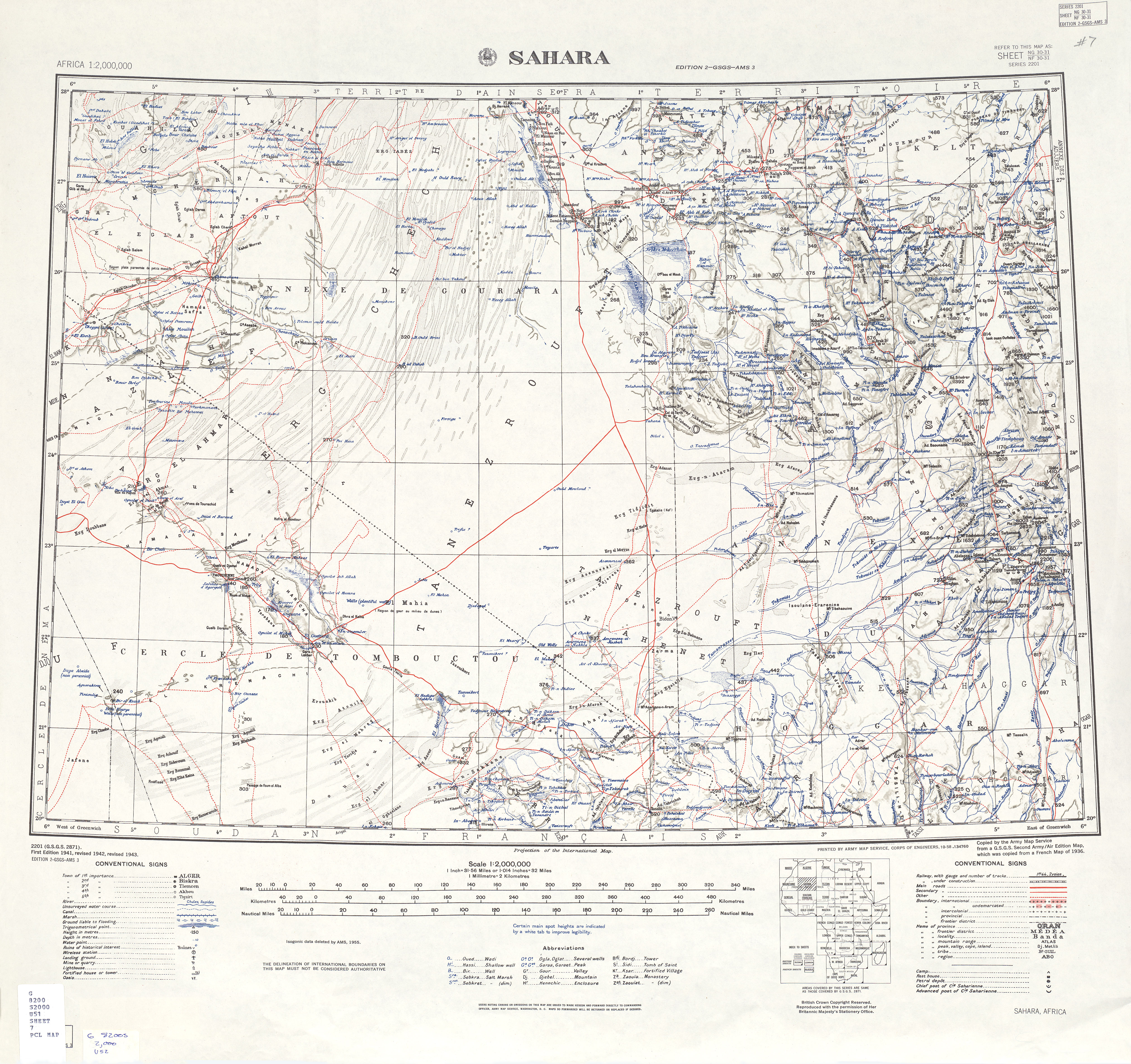
- ^ "Africa AMS Topographic Maps - Sahara". University of Texal Libraries. Retrieved 31 May 2013.
- ^ "Structure relative de la population résidente des ménages ordinaires et collectifs âgée de 6 ans et plus selon le niveau d'instruction et la commune de résidence" (PDF) (in French). Office National des Statistiques Algérie. Archived from the original (PDF) on 13 November 2011. Retrieved 30 May 2013.
{{cite web}}: CS1 maint: unrecognized language (link) - ^ "Taux d'analphabétisme et taux d'alphabétisation de la population âgée de 15 ans et plus, selon le sexe et la commune de résidence " (PDF) (in French). Office National des Statistiques Algérie. Archived from the original (PDF) on 13 November 2011. Retrieved 30 May 2013.
{{cite web}}: CS1 maint: unrecognized language (link) - ^ "Décret n° 84-365, fixant la composition, la consistance et les limites territoriale des communes. Wilaya de Tamanghasset" (PDF) (in French). Journal officiel de la République Algérienne. 19 December 1984. p. 1496. Archived from the original (PDF) on 5 May 2015. Retrieved 2 March 2013.
{{cite web}}: CS1 maint: unrecognized language (link)
أماكن قريبة من أبلسة | |
|---|---|
